Iran-Made System Detects Low-Orbit Satellites
“The products of our knowledge-based company are used in times of crisis like earthquakes and when communications are disrupted; it creates a comprehensive telecommunication network in less than three minutes after the presence of firefighters in the field, and therefore, an internal network of all relevant organizations like rescue forces, Red Crescent, fire brigade, police, security and military forces, and logistics services is created and they can communicate with each other in a comprehensive network,” Abbas Zafardo’agou, the managing director of the knowledge-based company, told ANA.
He explained that by using the system, each of the commanders can talk to all his/her forces or have a direct and private conversation individually, adding that the access level of each person is defined based on the type of mission.
“Telecommunication router systems are also used in refineries, universities, Iran Space Organization, space research institute and military centers,” Zafardo’agou said.
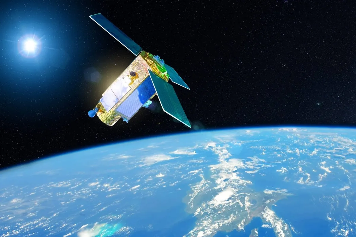
“The low orbit satellite tracking system based on X-Y technology has special advantages like estimating the location of the satellites, better tracking accuracy, programmed tracking of the satellite, detection of LNA received power, detection of satellite speed and acceleration and automatic antenna parking after each tracking,” he added.
In a relevant development earlier this year, Iranian knowledge-based companies had used geomatics technology and satellite images to offer a solution for managing natural crises including forest fire, dust storms and floods.
The intelligent satellite image processing system which is called "SAHM" monitors the environmental phenomena all across the country and sends technical reports to users after processing satellite images based on artificial intelligence algorithms.
This system has been designed and produced by one of the knowledge-based companies with the support of the Iranian Vice Presidency for Science, Technology and Knowledge-Based Economy and helps users in disaterous situations.
The system processes satellite images of "burning areas in forests and plains", "water areas of wetlands and lakes", "dust storms-hit areas", " oil pollution in the seas", "deforested areas", "exploring mines", "monitoring and intelligentization of agricultural fields", "prediction and relief efforts in floods-hit areas " etc. and sends the information and data to users who are usually organizations and people.
4155/v


