Iran to Build Special Satellite to Predict Earthquake

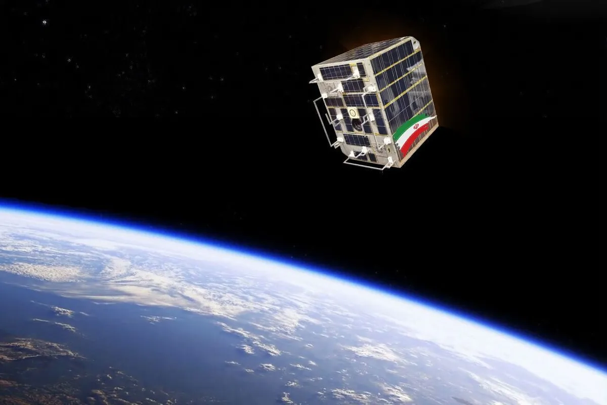
“We are making Ayaat satellite with the aim of predicting earthquakes and damage estimation,” Hassan Zamanian said.
He added that a cooperation agreement for construction of the satellite has been signed between the Scientific and Industrial Research Organization of Iran and the International Research Institute of Seismology.
Iran launched its first satellite, called Omid (literally meaning hope), in 2009. Rasad (literally meaning observation) satellite was also sent into orbit in 2011.
In 2012, Iran successfully put its third domestically manufactured satellite, named Navid (literally meaning promise), into orbit.
The first and most advanced homegrown remote-sensing satellite is Pars-1, which has been designed and constructed by the researchers of the Iranian Space Research Center.
Pars-1 is supposed to take pictures of all parts of the country using a high-resolution 15-meter-camera and send its photos from a 500-kilometer distance to the earth stations using a high-powered telecommunication transceiver.
According to previous reports, the Iranian Space Agency has plans to launch a number of satellites, including Pars-1, Pars-2, Zafar-2, and Nahid-2.
In February, the Iranian Space Agency announced that the Kosar satellite, designed and launched by 8 technological companies, was scheduled to be in a 500-kilometer orbit by the current [Iranian calendar] year (which began on March 21).
Iran is among the 10 countries with the know-how of space technology and is the 11th country in the world in terms of space science and the leading country in the region.
Iran’s global ranking in space technology has improved from 95 in 1996 to 11 in 2017.
4155/v


