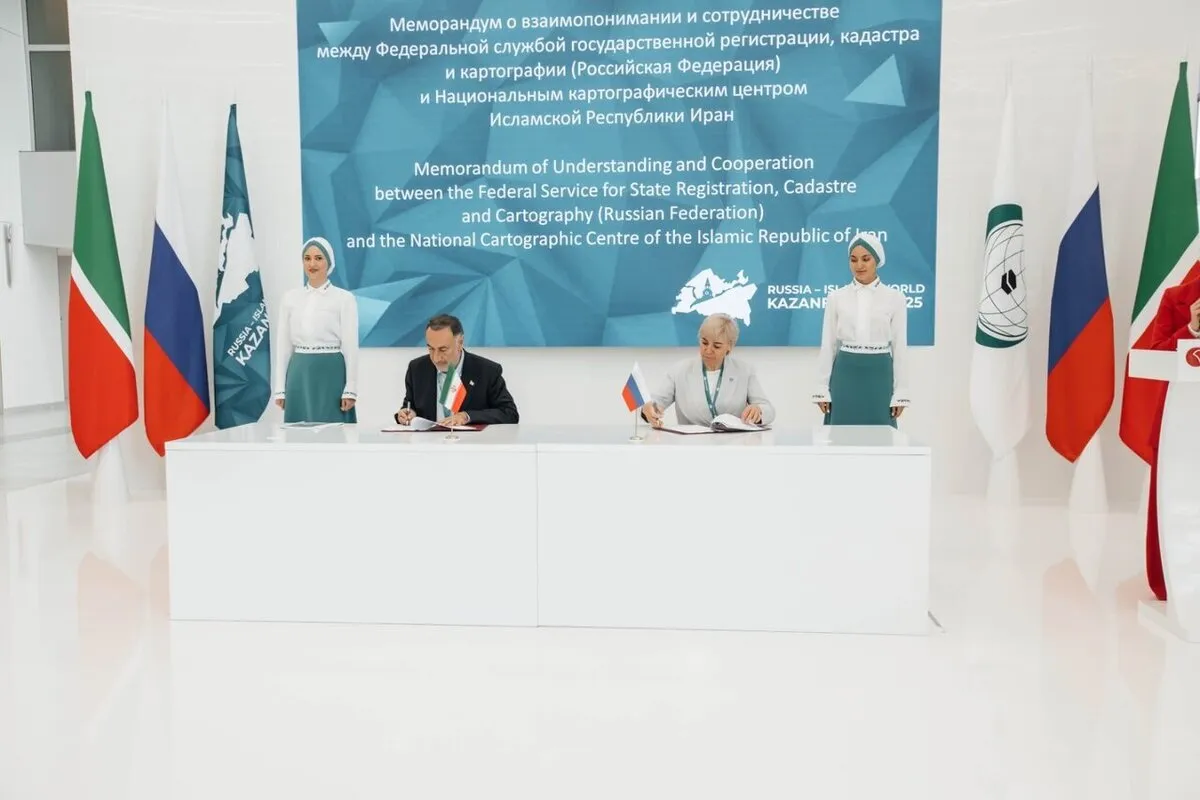
Tehran, Moscow Ink Cooperation MoU on Mapping, Geomatics Field
Officials described the agreement as an important step in deepening technical and scientific collaboration between the two countries in the field of geospatial science.
The agreement was signed on the sidelines of the 16th Russia–Islamic World: Kazan Forum in the city of Kazan. Iran's National Cartographic Center announced that the memorandum is aimed at facilitating the exchange of mapping technologies, enhance geospatial infrastructure, and implement joint geomatics projects.
The National Cartographic Center of Iran and the Russian Federal Service for State Registration, Cadastre and Cartography, also signed a memorandum of understanding (MOU) to develop spatial data infrastructure (SDI).
It aims to strengthen cooperation between the two organizations through sharing mapping technologies, developing spatial data infrastructures, and implementing joint geomatics projects.
Geospatial technology is a term used to describe the range of modern tools contributing to the geographic mapping and analysis of the Earth and human societies.
4155/v


