Iran expands GPS network using Khayyam satellite data
Iran’s National Cartographic Center (NCC) is strengthening its cooperation with the Iranian Space Agency (ISA) to improve the country’s spatial data infrastructure, according to NCC head Eskandar Seydaee.
Under a joint memorandum of understanding, cartography and remote-sensing specialists are processing imagery from the Khayyam satellite, aligning it with existing spatial coordinates and adjusting image resolution to meet national standards.
The cooperation aims to combine satellite imagery with spatial information obtained from gravimetry stations to better meet the country’s needs, Seydaee said.
He noted that Khayyam provides nationwide coverage. Its imagery is processed at different scales, including 1:25,000 and 1:2,000, depending on government agencies’ requirements and the level of detail needed.
Regarding natural hazards such as land subsidence, Seydaee explained that satellite imagery must be supplemented by specialized processing and real-time measurements from GPS and gravimetry networks to provide accurate assessments.
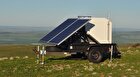
Hundreds of GPS stations currently monitor ground movements across Iran, transmitting real-time data to the NCC’s central system. The data are analyzed to track crustal movements and produce comprehensive land-subsidence atlases for cities and metropolitan areas.
To strengthen this monitoring network, the center procured 24 additional GPS devices over the past month. The equipment is expected to support the establishment of 24 new monitoring stations in the near future.
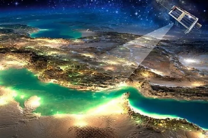
The Khayyam remote-sensing satellite was launched on August 9, 2022, from the Baikonur Cosmodrome in Kazakhstan aboard a Russian Soyuz-2.1b rocket. It was designed to provide high-resolution imagery for updating spatial data, supporting land-use planning and monitoring environmental and territorial changes across Iran.