Satellite Mapping Receivers Produced in Iran

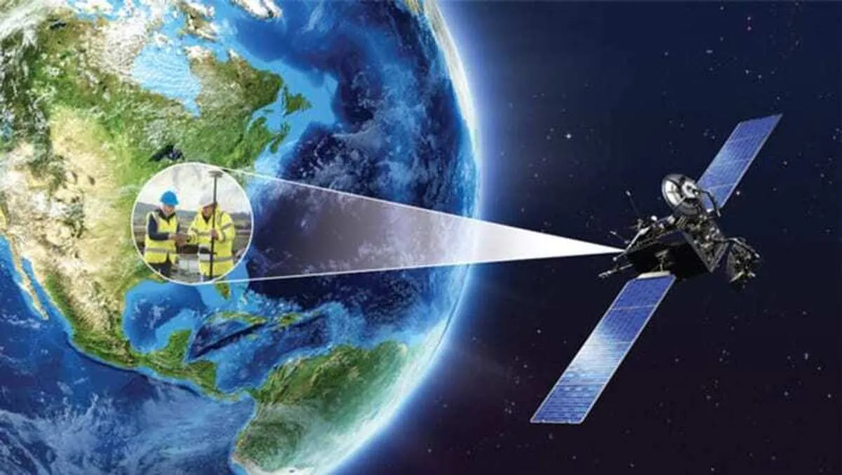
“A mapping receiver is a specialized radio receiver that is mainly used in the fields of mapping and navigation to determine precise geographical positions,” Meysam Qanizadeh, the managing director of the knowledge-based company, told ANA.
“This device operates by receiving signals from global navigation satellite systems (GNSS) and the main task of a mapping receiver is to accurately calculate geographical locations to help create accurate maps and conduct studies of the earth's surface,” he added.
“The performance of a GNSS satellite mapping receiver is critical in a wide range of applications. These receivers are widely used in the navigation of vehicles, aircraft and ships, which increases the safety and efficiency of travel,” Qanizadeh said.
“Beyond transportation, these receivers are essential in scientific research, military operations, agriculture, and in the construction and surveying and mapping industries, and are applied in industries like oil and gas, water and wastewater, and electric utilities,” he underlined.
In a relevant development in late 2022, an Islamic Azad University student had also produced a bump mapping module using computer techniques.
Speaking to ANA, Saeed Sediqi, a computer architecture engineering student at the IAU-Shiraz Branch said that the project to produce bump mapping was done for the Iranian Army’s Self Sufficiency Department.
He explained about his project and said that “bump mapping module takes the information from the camera and produces the bump map in real time, which are actually the bumps in that scene”.
“Differences in the image captured in the video frames from the camera and the movements in the scene are also depicted in the bump map module and its information is extracted,” the IAU student added.
Bump mapping is a texture mapping technique in computer graphics for simulating bumps and wrinkles on the surface of an object.
4155/v


