Iranian Researchers Develop Virtual-Well Software for Oil Industry
Asghar Naderi, the head of the Geophysics Research Group of the Oil Industry Research Institute, said seismography is one of the important tools for evaluating gas hydrate resources.
The presence of gas hydrate changes the seismic properties of sediments and these changes are a function of the percentage of hydrate and free gas saturation, the type of distribution of hydrate crystals, the type of sediments, and the porosity of the rock, he explained.
Since seismic inversion requires the initial model obtained from data of the well, in the absence of the information, the virtual well construction technique is used as an alternative method, he added.
“The purpose of creating a virtual well is to estimate optimal pressure wave velocity, tensile wave velocity, and density with the help of different optimization algorithms from seismic data.”
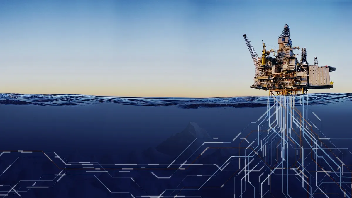
In the Sea of Oman gas hydrate field, there was no well due to the high cost and risk of drilling, and the only available data is two-dimensional seismic data, Naderi pointed out.
“Therefore, quantitative studies of gas hydrate with the help of existing data are essential, and since quantitative seismic studies require data, the technique of constructing a virtual well is essential to compensate for the lack of data.”
Naderi referred to the construction of a virtual well with the Gmax industrial software developed by the Chinese company LandOcean, adding, “The use of this software is not easily possible due to several problems such as the lack of access to training and necessary documents for learning.”
This issue led to the formation of a coding group in the gas hydrate project by selecting distinguished university graduates in the field of programming along with the researchers of the geophysics department.
“After studying and checking the optimization algorithms, a suitable algorithm was created. An image well was selected and a computer program was written.”
This software has been tested and optimized on artificial and real seismic data in the Sea of Oman and the results obtained show that its outputs are more suitable than industrial software in some cases.
4155/g


