Novel robotic navigation framework improves accuracy in GPS-denied environments
Researchers at the Moscow Institute of Physics and Technology have developed a new robotic localization system, dubbed "MSSPlace," which integrates data from multiple sources, including optical cameras, LiDAR sensors, and textual descriptions of locations and objects.
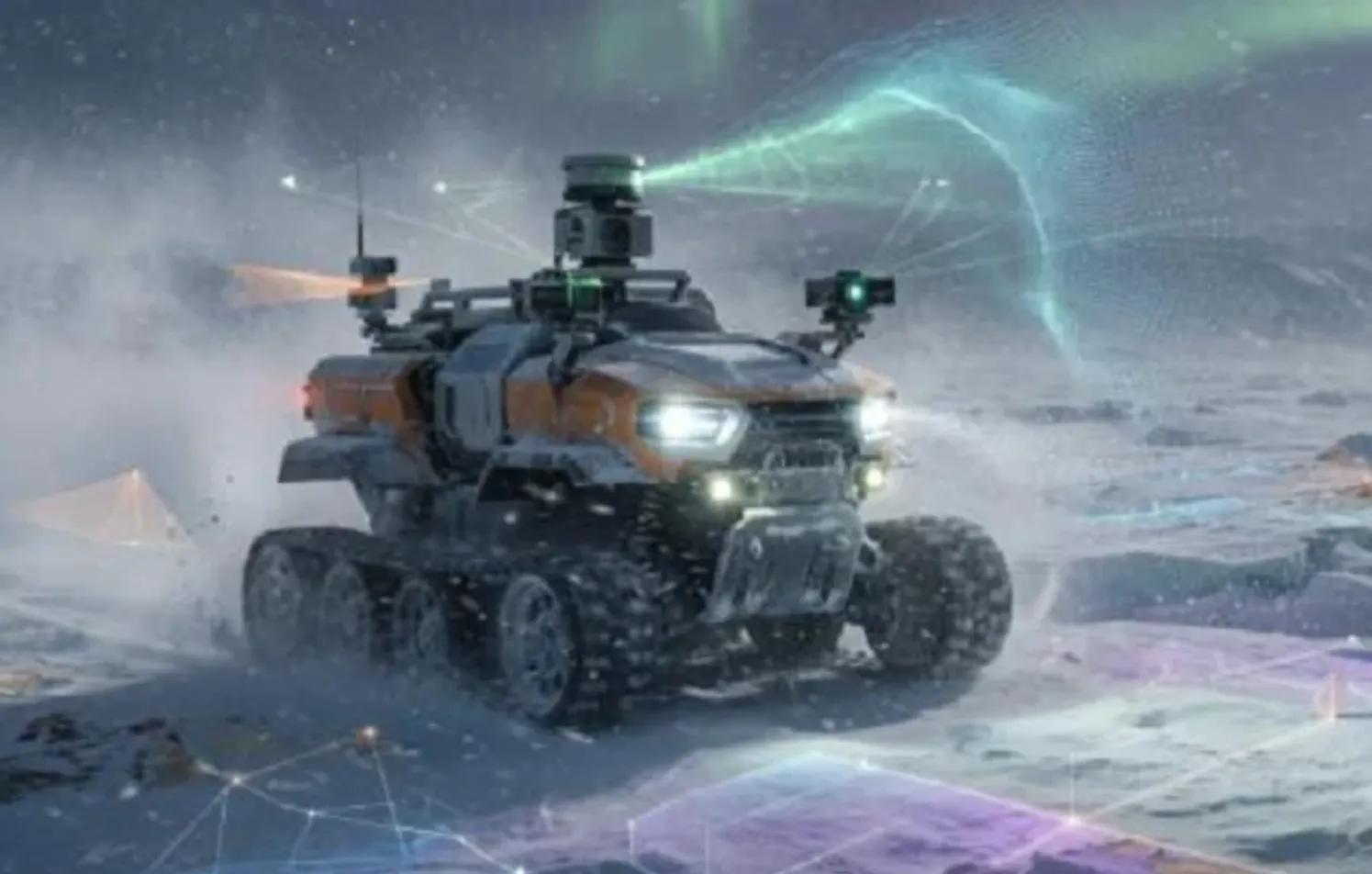
The system is designed to enable robots to accurately determine their positions and operate efficiently in challenging environments, such as darkness, severe weather conditions, or areas with weak or absent satellite navigation signals.
According to researcher Dmitry Yudin, the team developed a neural network architecture and a dedicated training method capable of generating compact digital representations of locations. This approach allows the system to recognize the same environment regardless of whether it is captured during the day or at night, or under varying weather conditions, including rain, snow, and clear skies.
Yudin explained that the system relies on constructing a knowledge base that robots can use for self-localization. Experimental tests demonstrated promising performance, with an average positioning error of less than half a meter in indoor environments and no more than two meters in outdoor settings.
The researcher also noted that the technology has been incorporated into the open-source OpenPlaceRecognition library, facilitating broader adoption and further development by the robotics research community.
The innovation represents a significant advance in robotic navigation, particularly in environments where satellite-based positioning systems are unavailable or subject to interference, potentially expanding the use of autonomous systems in industrial, emergency response, and other mission-critical applications.


