Iranian Firm Analyzes Wheat Cultivation Area in 3 Provinces with Satellite Images
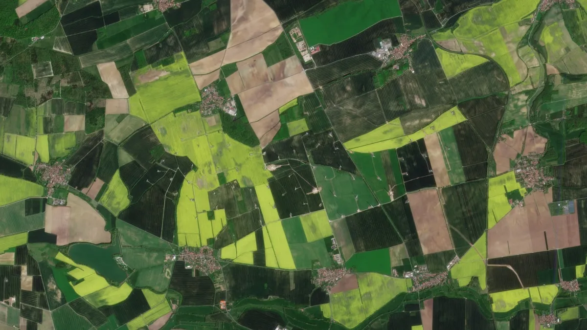
“Engineers of our company developed a platform based on satellite data that made it possible to accurately assess and identify the wheat cultivation area in the three provinces of Gilan, Mazandaran and Golestan,” said Alireza Hajitabar, the managing director of the company.
He explained that with this system, the farmer is assessed and his wallet is recharged by the private sector, adding, “In this process, inputs like seeds, fertilizers and pesticides are provided to the farmer. Knowledge-based companies on this platform can offer their services through satellite data and smart sensors. Then the final product is insured and delivered to the customer.”
“Our other activity is agricultural management at the macro level. We were able to collect data at the national level for some key crops like rice and wheat. In this project, both the area under cultivation and the production of these crops have been assessed and analyzed,” Hajitabar said.
In a relevant development in 2023, engineers of a technological company in Iran had also implemented a system based on space technologies which can be used to estimate the amount of cultivated areas of five strategic crops and the actual annual needs to the products.
“For the smart management of cultivation of strategic crops, we have on agenda the design and implementation of three under-development systems upon an order by the Iran Space Agency,” said Zahra Toufaninejad, the managing director of the company.
She said that one of these systems has been developed to monitor the cultivated areas and the rate of transpiration and evaporation of the rice product, noting, “Another system monitors the cultivated area of wheat, canola, corn and sugar beet by using satellite images.”
These systems will be provided to the Iranian Agricultural Ministry after being approved and finalized by the Space Agency.
4155/v


