Iranian System Determines Changes in Agricultural Lands with AI, Sentinel-2 Satellite Images
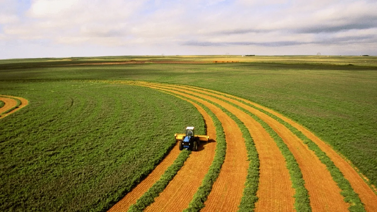
“Using artificial intelligence networks and data from the Sentinel-2 satellite, we have also provided the ability to automatically identify effects and changes in the farm. In the field of single-crop analysis, capabilities have been foreseen so that the farmer can observe the plant indices of his land on different dates and make multiple comparisons between his land and similar farms in the same region,” said Mohammad Reza Esmayeeli, the managing director of the company.
He mentioned the direct use of Sentinel-2 satellite data on each agricultural land as another capability of the system, and said, “This capability has provided the ability to analyze and process based on the same images. The user can compare various indicators like NDVI and other influential indicators over time with the ideal state to find out which part of the land is facing deficiency or weakness. In this system, we used artificial intelligence to make the process of automatic interpretation of the outputs easier, while presenting the results in simple and understandable language.”
Noting that the company in addition to remote sensing data, also uses meteorological data, Esmayeeli said, “Considering the available data and the expected level of accuracy, meteorological forecasts have been included in the system to make decisions more accurate for farmers. We also held discussions with other companies to benefit from domestic indigenous data if the project is expanded.”
In a relevant development in 2023, engineers of a technological company in Iran had also implemented a system based on space technologies which can be used to estimate the amount of cultivated areas of five strategic crops and the actual annual needs to the products.
“For the smart management of cultivation of strategic crops, we have on agenda the design and implementation of three under-development systems upon an order by the Iran Space Agency,” said Zahra Toufaninejad, the managing director of the company.
She said that one of these systems has been developed to monitor the cultivated areas and the rate of transpiration and evaporation of the rice product, noting, “Another system monitors the cultivated area of wheat, canola, corn and sugar beet by using satellite images.”
These systems will be provided to the Iranian Agricultural Ministry after being approved and finalized by the Space Agency.
4155/v


