Surveying, Mapping Drones Developed by Iranian Experts
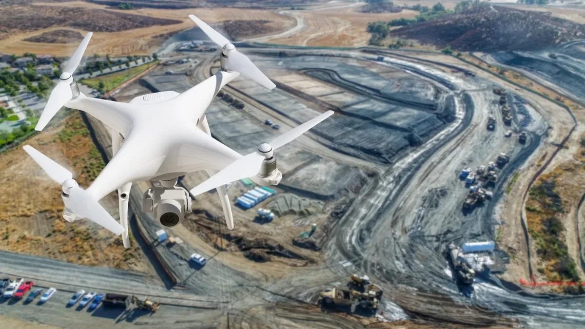
The drones are able to carry out identifying, surveying, and mapping operations within 15 kilometers of the location of the control station.
The system, dubbed “Hod Hod 5” has been designed and built with the support of the geomatics group of the headquarters for the development of space technologies and advanced transportation of the Vice Presidency for Science, Technology, and Knowledge-Based Economy.
Carrying out various military and non-military missions, especially identification, surveillance, monitoring, and mapping within 15 kilometers of the location of the control station is the advantage of the system.
The use of high-quality raw materials in the structure of the propellers of drones has minimized the need for maintenance.
At the same time, the design of the carrying box and the use of quick connections in the design of the structure have made the system ready to fly in less than 10 minutes.
Another advantage of the drone is the easy and immediate replacement of its battery in continuous missions so that users can replace the battery in less than a minute.
The arms of the "Hod Hod 5" are designed to be detachable and can be easily carried by people by placing them in their own bags.
All private and public organizations or companies including large industries, topographic organizations, armed forces, and municipalities that need photography, mapping, monitoring, and surveying equipment and places, are in need of the product.
4155/g


